
Basic map of combined authority with districts
Primary tabs
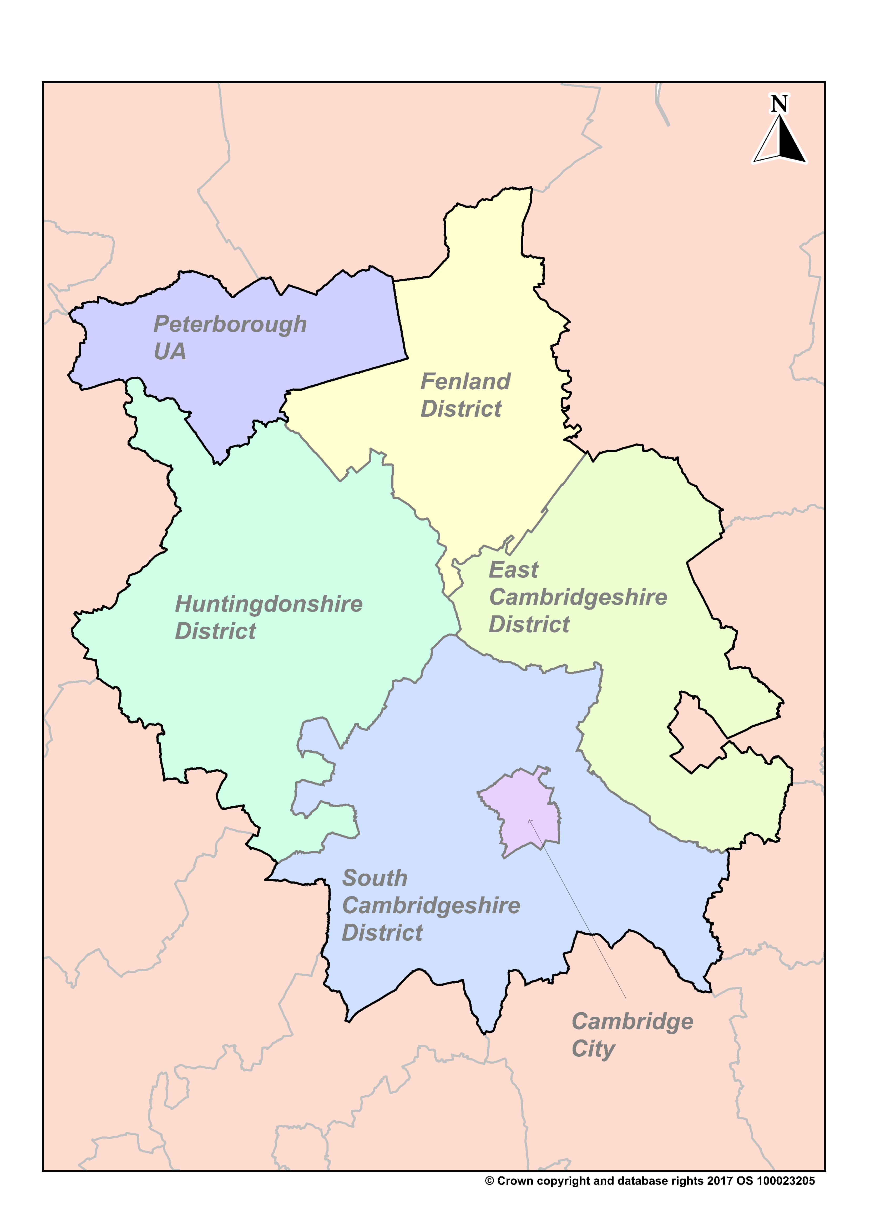
Basic Combined Authority districts
Resources
- Basic Combined Authority districts
- Basic Combined Authority (no text)
- Basic Combined Authority market towns and roads
- Combined Authority districts with road map
- Combined Authority Development Areas
- Combined Authority Map with Transport Links
- Cambridgeshire Districts - Market Towns and Key Roads
- Cambridgeshire Districts with Key Transport Links
- Basic Cambridge Map
- Basic East Cambridgeshire Map
- Basic Fenland Map
- Basic Huntingdonshire Map
- Basic South Cambridgeshire Map
- County Growth Corridor
- Regional Growth Corridor
- Combined Authority Housing Market Area
- LEP (Local Enterprise Partnership) with Settlements / Roads
- Cambridgeshire Parishes
- Cambridgeshire and Peterborough Parish Map
- Cambridgeshire and Peterborough Parish Boundaries Map (2024)
- Cambridgeshire and Peterborough Boundary Map
- Cambridgeshire and Peterborough District Boundary Map
- Cambridgeshire Boundary Map
- Cambridgeshire and Peterborough Overview Ward Boundaries Map
- Cambridge Ward Boundaries Map
- East Cambridgeshire Ward Boundaries Map
- Fenland Ward Boundaries Map
- Huntingdonshire Ward Boundaries Map
- South Cambridgeshire Ward Boundaries Map
Additional Information
| Field | Value |
|---|---|
| mimetype | image/png |
| filesize | 374.96 KB |
| resource type | file upload |
| timestamp | Mar 27, 2019 |